Hills , Mountains & other hiking Areas in Marin

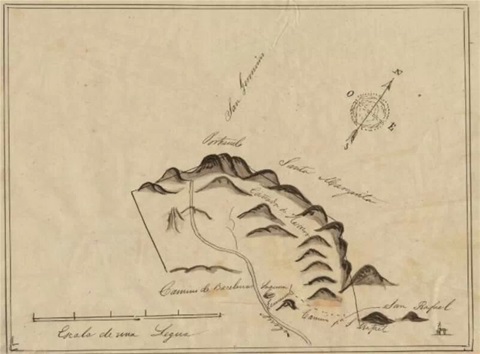
This section shows not only current snapshots , but older snaps of the area where you can go hiking, you can also find small maps of area , which you may use as refrence, included is also sketch of the surrounding hills, taken from original Spanish land grant of the 19th century


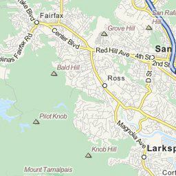
Partial map of area


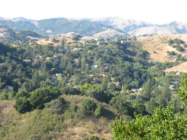
View of the Corperation Yard Hills as seen from a top Red Hill,also beyond them are seen the Hills of Terra Linda Ca.
The Corperation Yard Hills may be gotten to by either the fire trail off Sunny Hills School, or by going up to Sorich Park, both are in San Anselmo Ca.
A Caution: there have been noted both Mt.Lions & Rattlesnakes along the Trails of The Corperation Yard


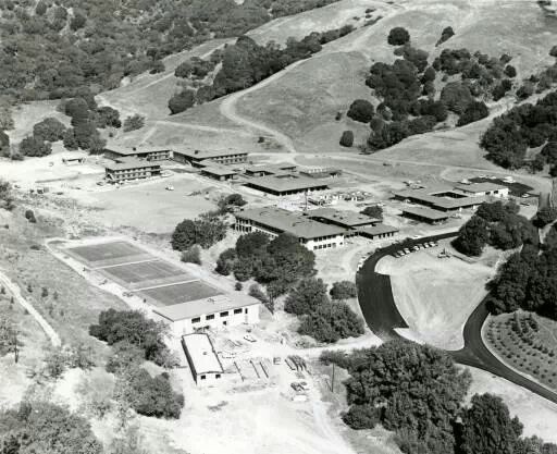
Partial shot of corperation yard hills , circa 1965 , with San Dominico School in forevround, if you take hiking trail near horse stables and head left over hill , take trail and deer paths , you will come out in Terra Linda


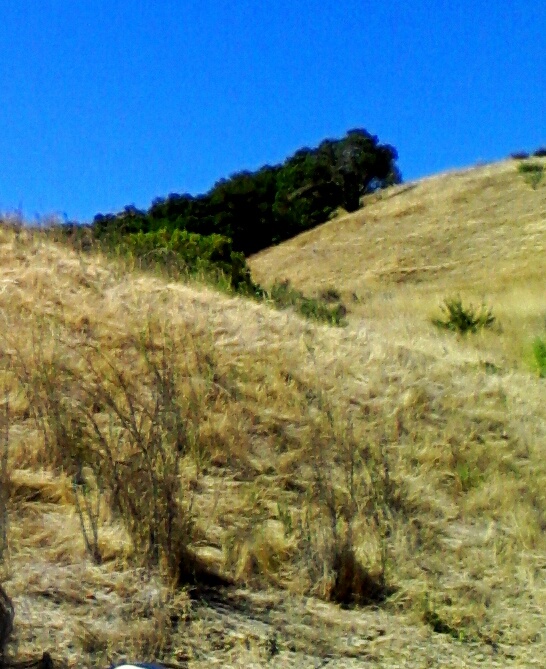
View of corperation yard hills , as seen from fire trail next to Sunny Hills School , San Anselmo , at times jack rabbita , deer , lizards and hawks may be seen in this area


Red Hill circa 1900, a full 67 years before the landslide, which took out a good portion of center area of hill


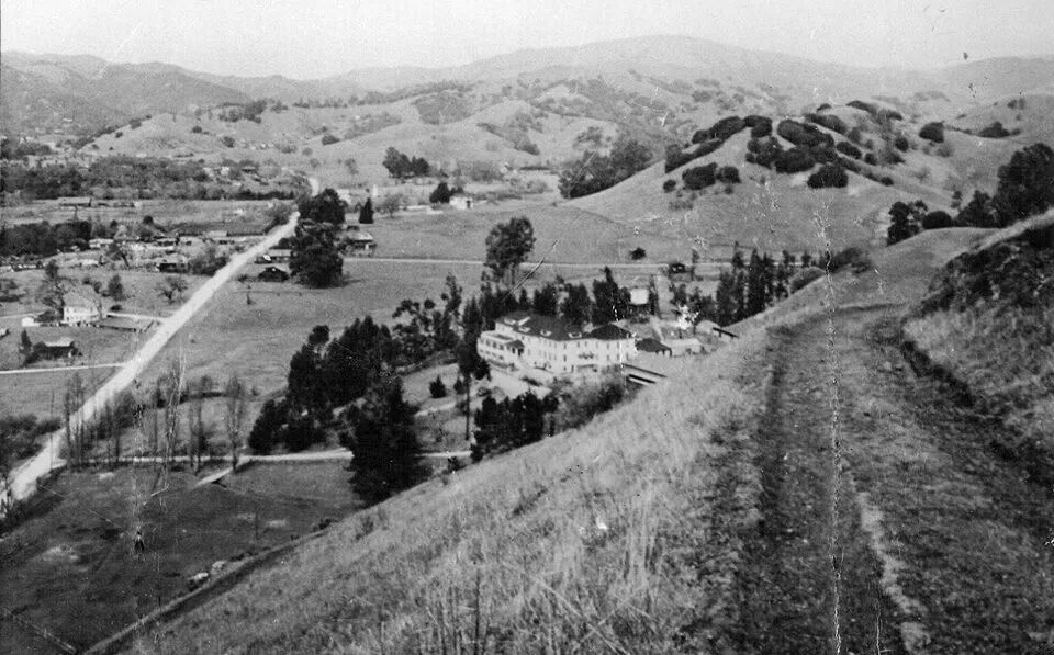
View from trail upper part of Red Hill , early 1900's, Sunny Hills Ophanage , may be seen below


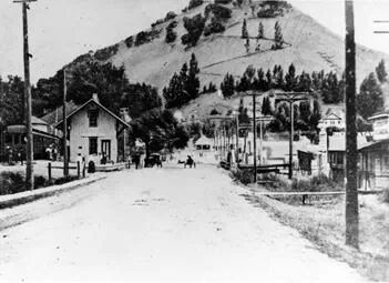
View of the north face of Red Hill, behind Red Hill Centre (shopping mall)


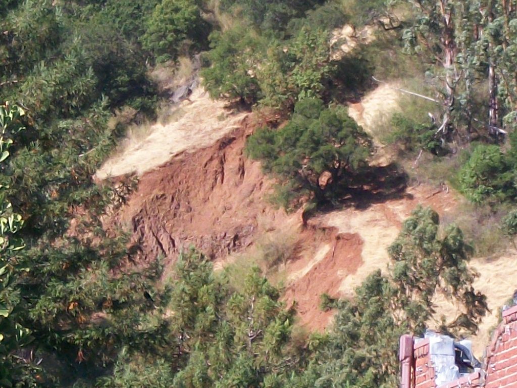
Red Hill along Sir Francis Drake Ave. @ the Hub area of San Anselmo, until Feb. of 1967 the area in this snapshot shown a compleate Hill,in that year the rains were so hard that they caused a large portion of this hill to slide ,destroying a newly built housing complex not yet occupied ,since the main slide there are only a few safe , somewhat hidden trails which will allow you to the top, on a really clear day , if you look closely you may see the tops of the San Francisco Skyline, a better view of this may br seen from the top of Bauldy.
A caution : there is Poison Oak in severeal areas of this Hill, some Deer, but rarely any snakes


Mt.Bauldy (also know as Bauld Hill) can be gotten to by severeal different Trails : the main Fire Trail can be found at the end of Laurel Canyon Rd,, off of Laurel Ave. in San Anselmo Ca., it may also be gotten to by taking Redwood Rd. off San Anselmo Ave. until you hit Oak ave., or by taking Oak from it's start @ the other end of town near the upper grounds of the Local Grade School Wade Thomas , which can be found @ the cross of Ross & Kensington Ave. in San Anselmo Ca.,another hidden way Bauldy may be found a few miles North in the town of Fairfax, by going on Bolinas Ave. leading into a series of Hiking Paths, once at the top there are many Trails which may be explored, one such Trail will eventuly take you to the Main Mt.of this area Mt. Tamilpias, on a very clear day you can see for miles, and if you are lucky there is a very good view of the San Francisco Skyline from the top of Bauldy, Hawks may also be seen looking for their lunch, you can see them as they scan the hill below them, but before you get there (Mt. Tam)you might want to take the path which leads up to our own Pheonix Lake.
A Caution : Rattle Snakes have also been seen on these Fire Trails


Near Mount Bauldy's summit , views from herw vary ,one direction and you will view nearly the entire town of San Anselmo, from another vantage point you can see ( on a clear day ) parts of the city of San Francisco and parts pf both Richardson and San Francisco Bay's , yet another view, you can see parts of the town of Faifax, and in many views from the summit , you can see the surrounding Mt. Tamalpias , which if you follow trail from Bauldy , it will take you onto the next Mt. Tamalpais, warning:, both small cougars and rattlesnakes have been seen, however if you don't bother them , as a rule , they won't bother you

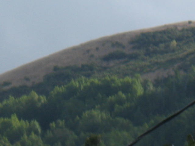
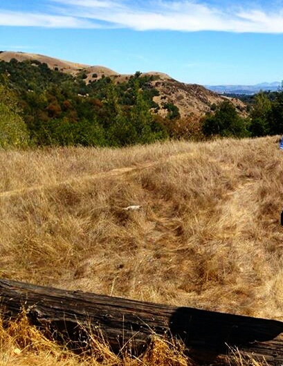
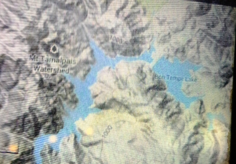
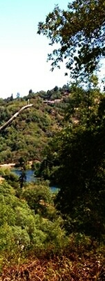
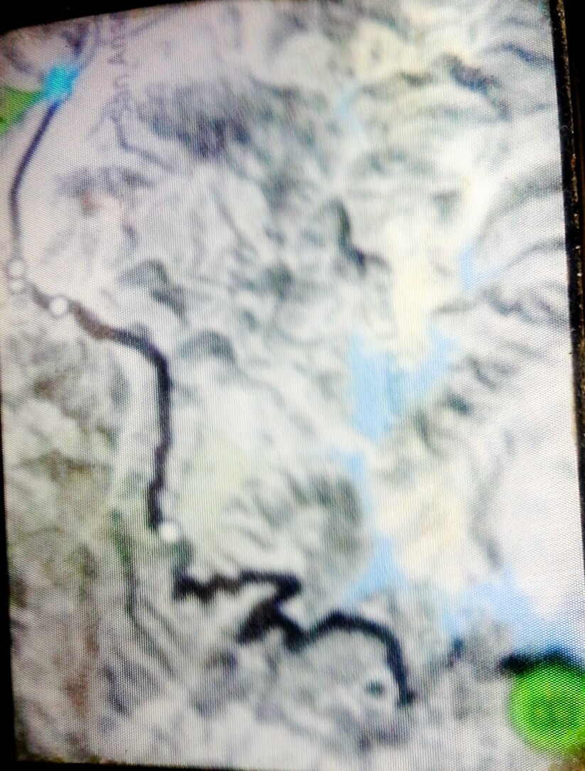



Topagraphical map of Marin's Lake District , Mt. Tamalpias


Our lake district :Phoenix , Alpine , Bon Tempe and Lagunitus Lakes, this shot Bon Tempe , as viewed from trail between Bauld Hill (bauldy to locals) and Mount Tamalpias


Topagraphical map, shows path if you wanted to hike to the falls from San Anselmo


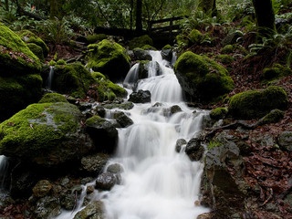
Cataract Falls


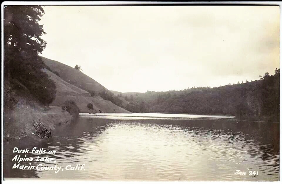
Antique post card , shows Alpine Lake at dusk, nestled in the shadow of Mount Tamalpais


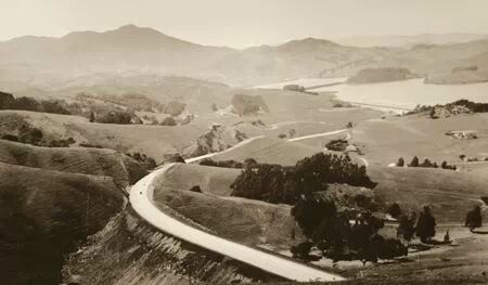
Mount Tamalpais in the background , circa 1937 , Mountain named after local miwok indian tribe's word for mountain, tranlation: sleeping princess, as outline of Mt. looked like sleeping maiden to indians


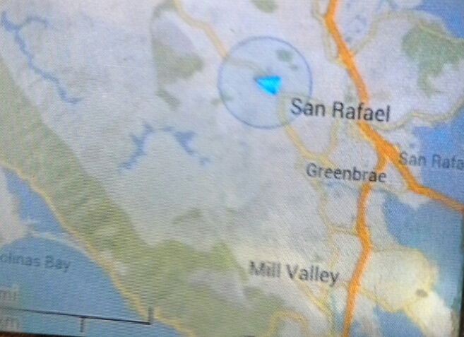
Partial Marin County map , with lakes & some hill & coastline shown


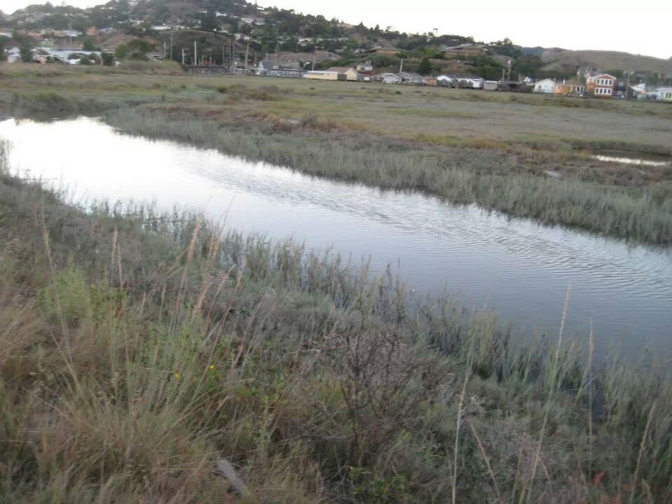
Marsh area between Greenbrea and Larkspur, leading to San Francisco Bay , you may fish, sailboard as well as use boats in this area , make sure to use your life vest, ducks, egrets , hawks and sometimes deer have also been seen in this region


Marin Headlands , from Marin County side , you can see Golden Gate Bridge on other side


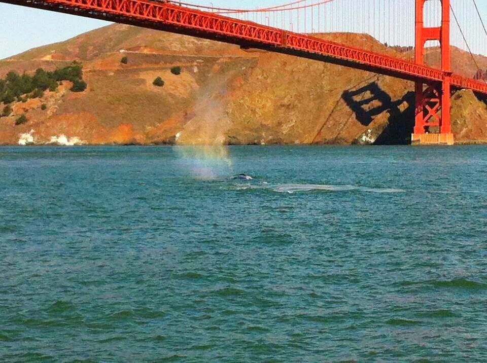
Marin Headlands Regional Park ,in the shadow of the world famous Golden Gate Bridge, you will notice a bonus in foreground, a whale visits the Bay


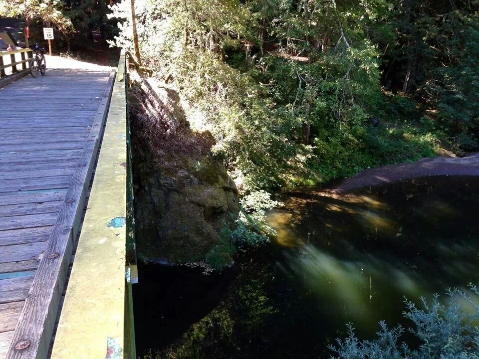
Samuel P Taylor State Park, bridge over swimming hole known to locals as the inkwells, Park is out past San Geranimo , but before Point Reyes Seashore, there is overnight campgrounds here, but keepyour campfire burning, or you may get visit from a racoon or two


The Marin Coastline , Northern Marin


The Marin Coastline , Northern Marin